Chesterfield Virginia
Ironbridge rd near the Airport - Chesterfield Virginia - Photo by Erik Weems

ARCHIVE PAGES INDEX


ADC Map Book - Metro Richmond, Virginia: Includes : Lakeside, Tuckahoe, Innsbrook, West Creek, Chesterfield, Virginia Center, Business Parks, Richmond Intl. Airport Map, Downtown Detail, and (Street Map Books)


ARCHIVE 1

ARCHIVE 2

ARCHIVE 3

ARCHIVE 4

ARCHIVE 5

ARCHIVE 6

ARCHIVE 7

ARCHIVE 8

ARCHIVE 9

ARCHIVE 10

ARCHIVE 11

ARCHIVE 12

ARCHIVE 13

ARCHIVE 14

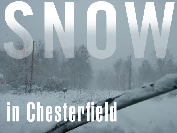
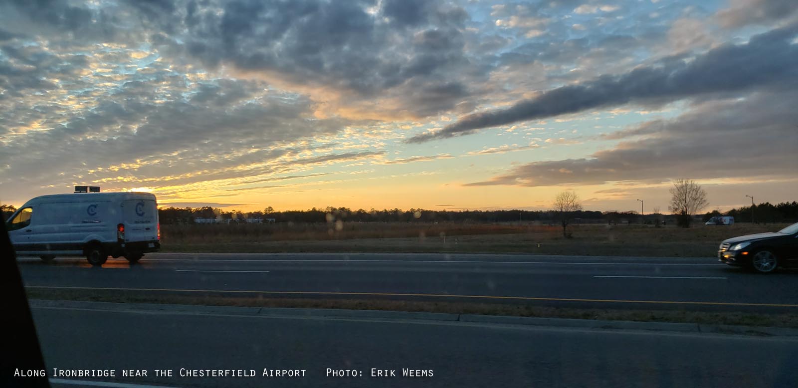
ARCHIVE 15 – Farrar Island, County Airport sunset, Braeburn Apple Tree Spring Bloom

ARCHIVE 16 – Braeburn apple tree, Iris blooms, spring flowers, sweet potato experiment, rainbow

ARCHIVE 17 – Forest steps, James River, wet lily, duck weed on ponds, boat on James River

ARCHIVE 18 – Citie of Henricus, Helicopters, Ay Caramba in Chesyerfield, twisted tree, 95 interstate ramps

ARCHIVE 19 – Waves on Chesterfield tidal lagoon, ramp to 95, Greenhouse plants

ARCHIVE 26 – Radio towers, Horse Tail Loop, storms on Ironbridge Road, wetland protection area


Next Archive Page

County "Historical Courthouse 1917"

Courthouse Chesterfield

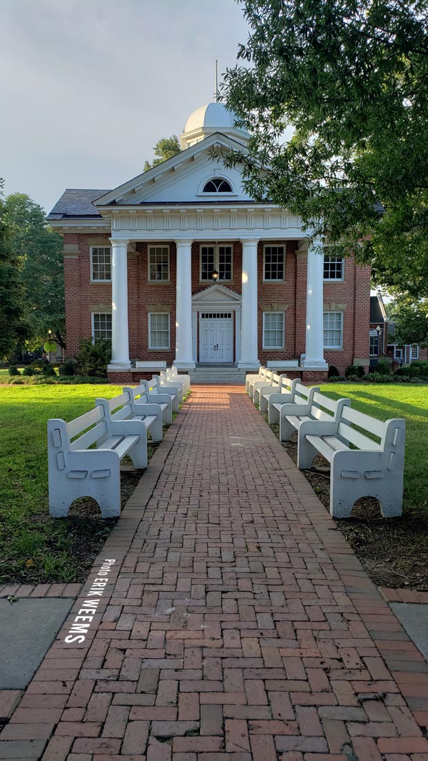
July 2019 - More photos of the Historical Courthouse


Photos by Erik Weems - for prints: prints@erikweems.com


Snow in Chesterfield

ChesterfieldVirginia.org


Home | About | Photos | Copyright | Archives | County Landfill