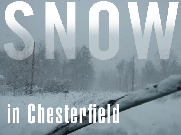
Last Update: February 23, 2026
For prints, contact erik @ erikweems.com
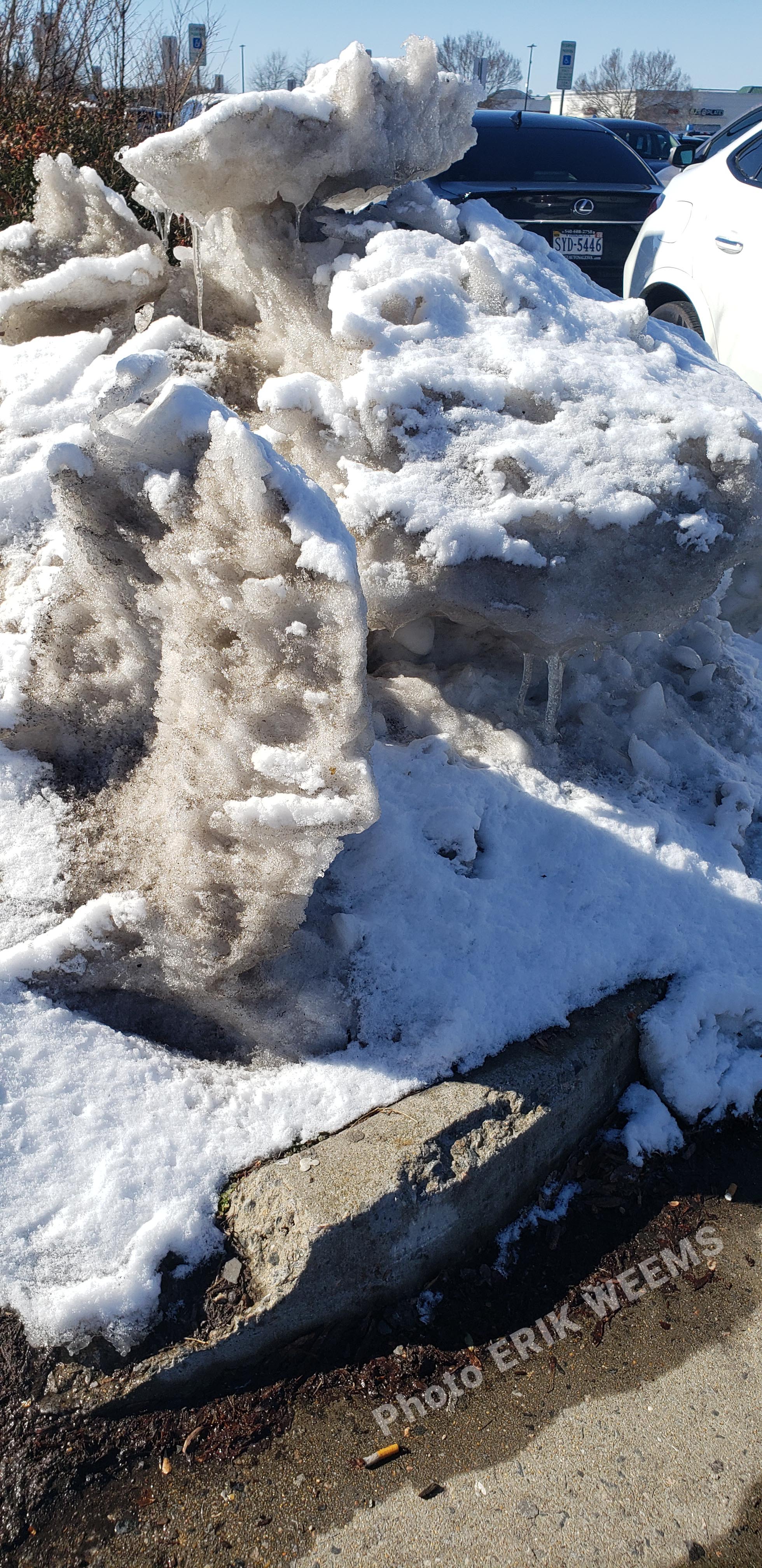
Dirty snow and ice piled up like abstract sculpture along Iron Bridge Road in Chesterfield near the gov't buildings
AMAZON: Old Dominion, New Commonwealth: A History of Virginia, 1607–2007
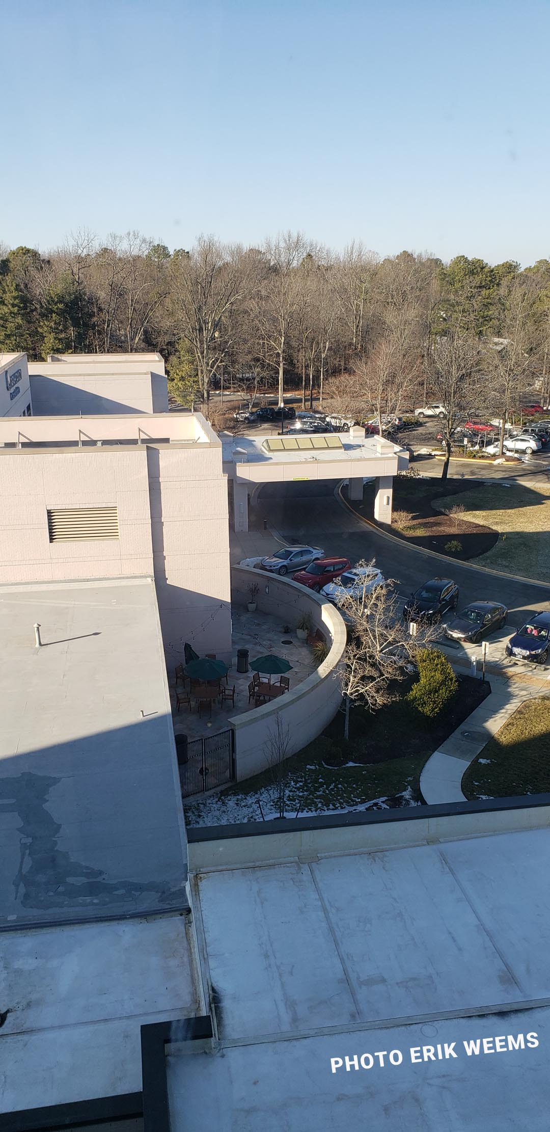
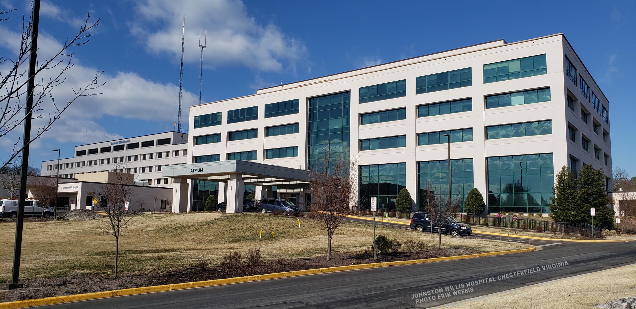
Looking outside at Johnston Willis Hospital in Chesterfield Virginia
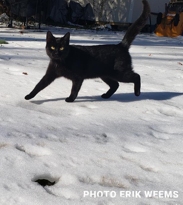
Peanut the Cat
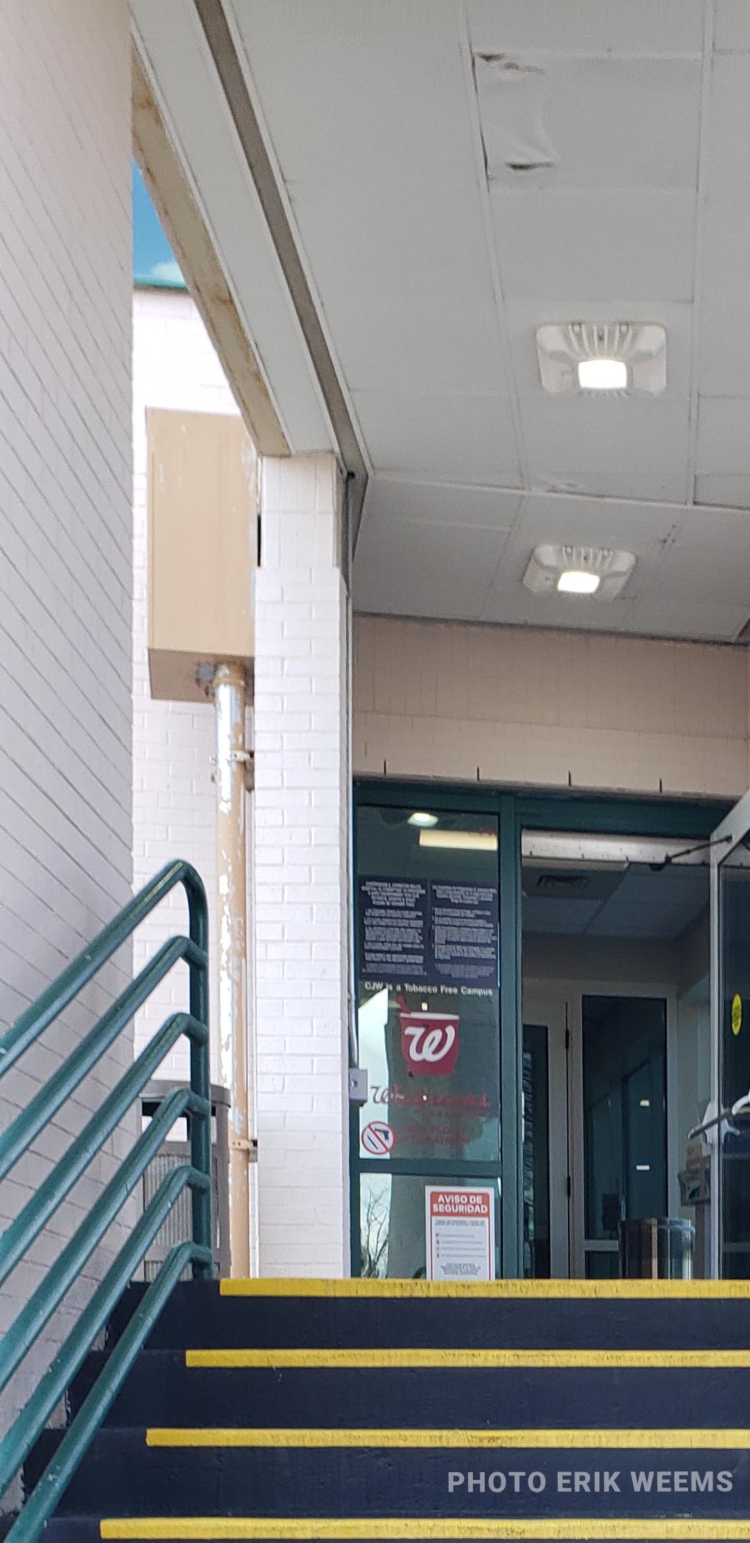
Stairs up to Walgreens inside the Johnston Willis Hospital
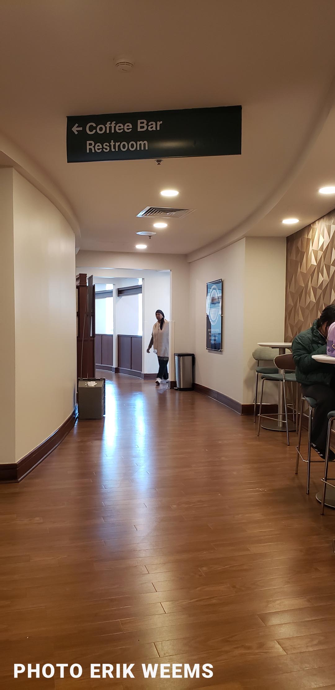
Halls inside of Johnston-Willis Hospital in Midlothian, Virginia
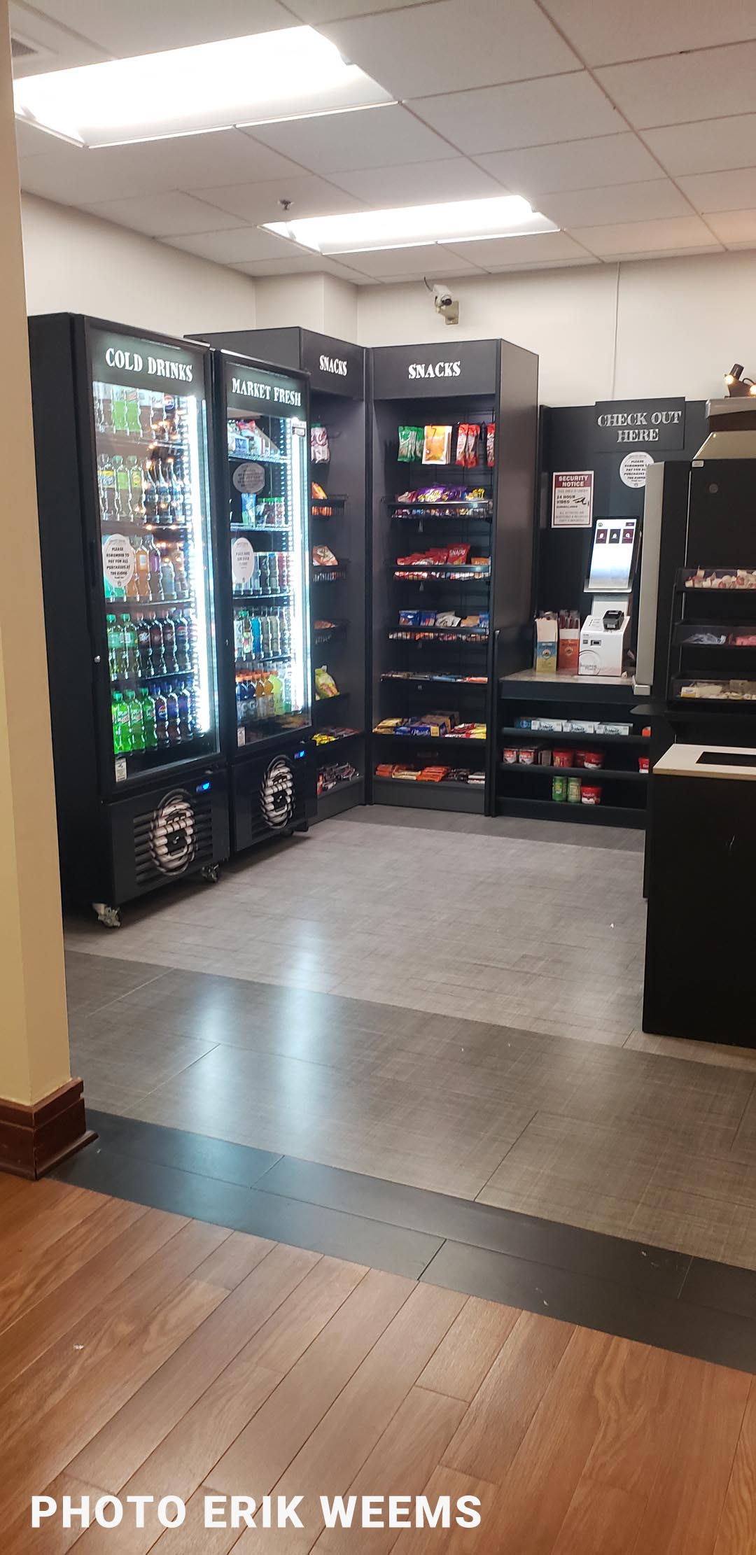
Vending snack bar machines inside the Johnston-Willis. There's a "live" human-manned hot food place further back inside the building. But these machines serve the folks waiting int he large lobby area near the surgery center.
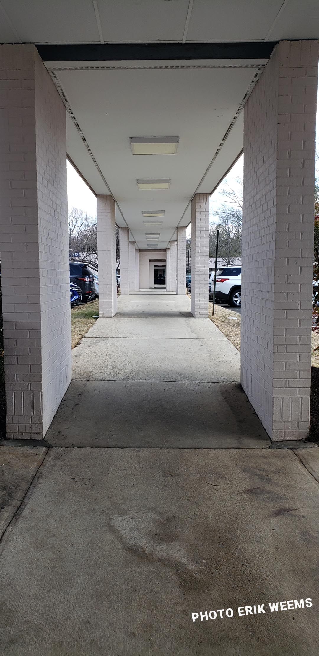
The covered walkway out into the parking and onto other buildings at Johnston Willis Hospital in Chesterfield
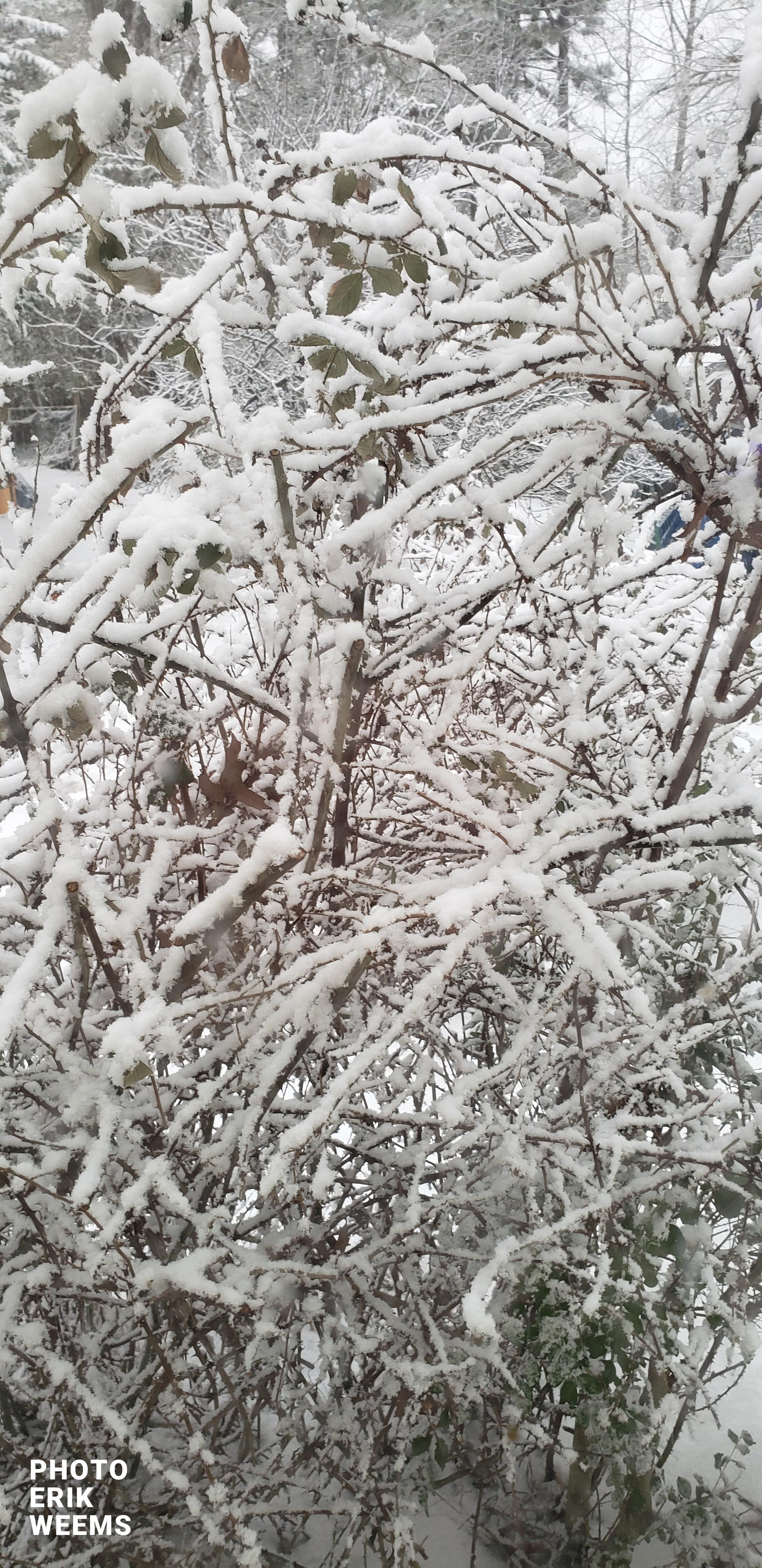
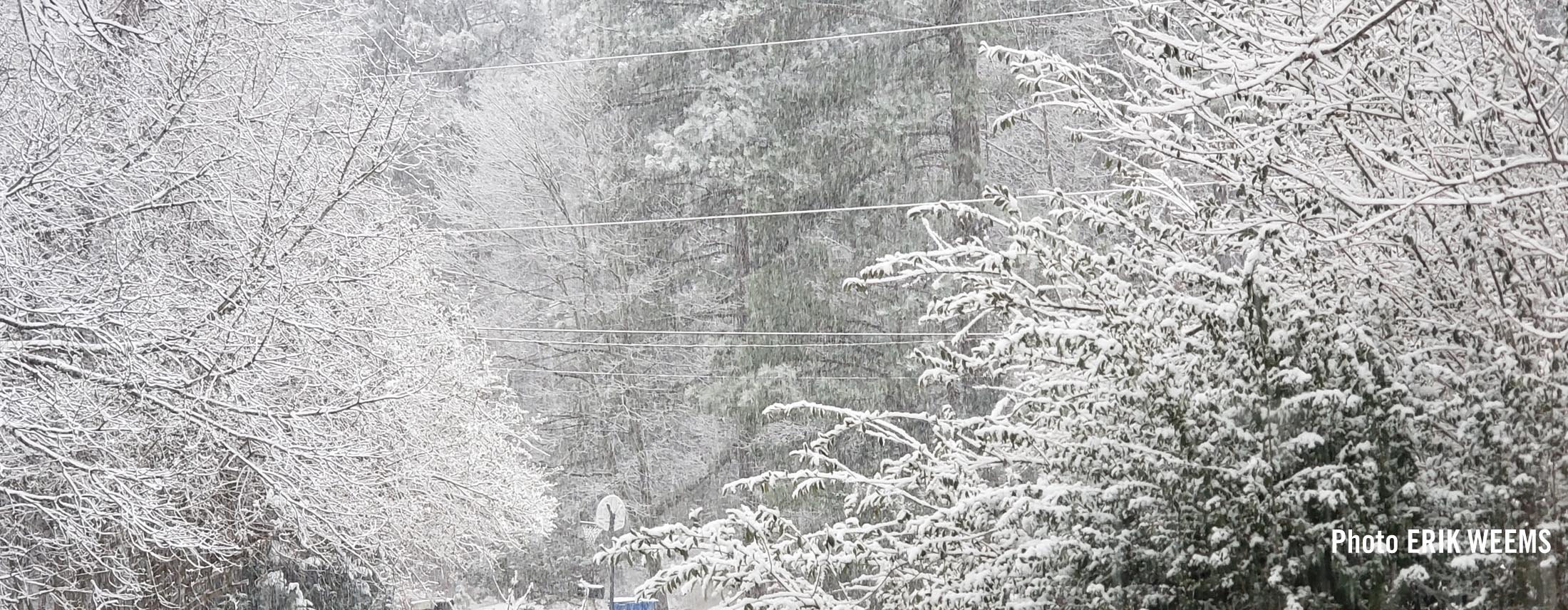
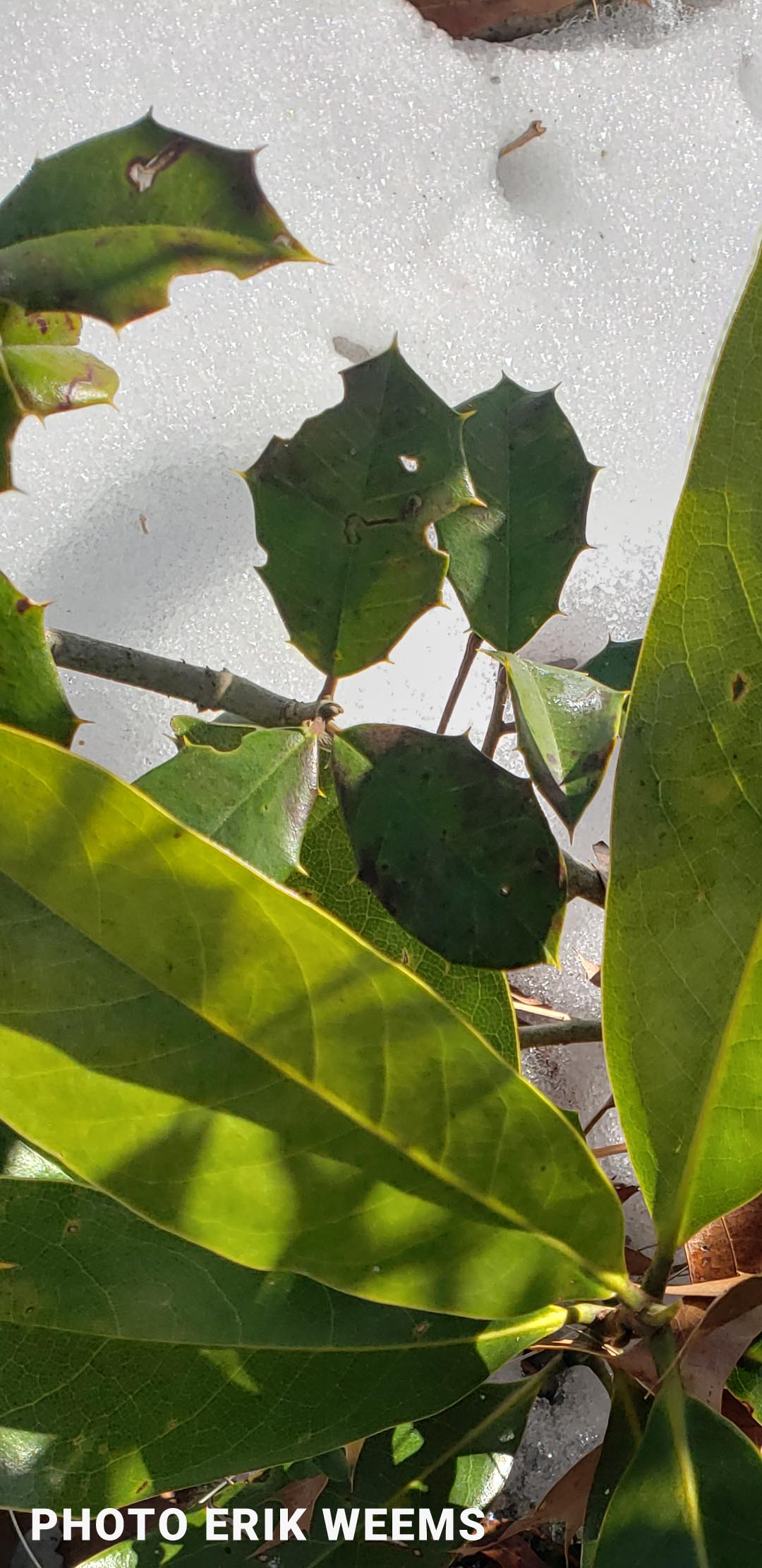
Blackberry Bush snowed over in Chesterfield